The
West Northumberland Sundial Trail
|
The
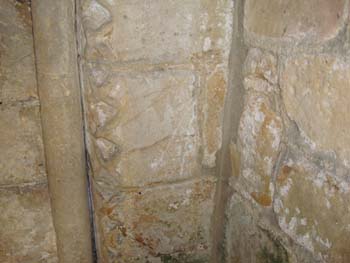
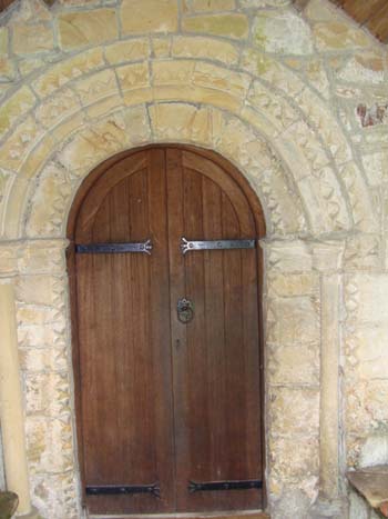
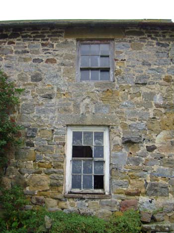
trail begins in the fourteenth century porch of St Andrew's church,
Bolam in Northumberland. Three miles from Belsay, which is on the
A696, the church is on the road from Bolam Lake to Whalton. Bolam
town has disappeared but the Anglo-Saxon tower of the church still
looks across the Wansbeck valley. As you stand in the porch facing
the door into the fourteenth century south aisle, look to the right,
where there are two lines of a mass dial that is now partially obscured
by the porch. The aisle was originally added in the twelfth century
and it is thought the door was reused. So the mass dial could be anything
from twelfth to fourteenth century.
|
|
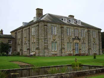
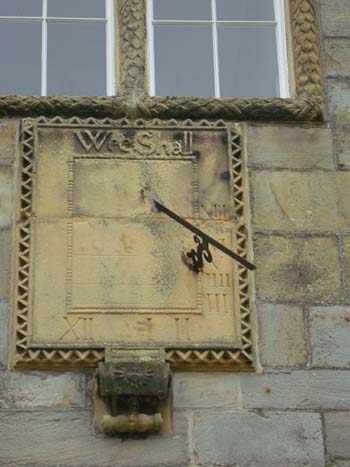
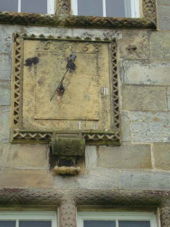
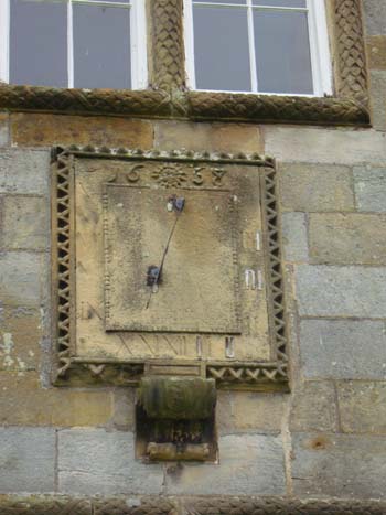
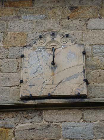
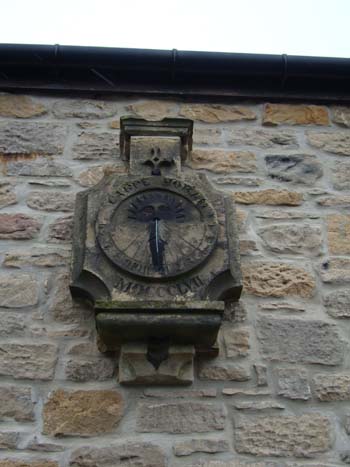
Our next stop is Capheaton
Hall, seven kilometres up the A696 from Belsay. Take the left turn
to Capheaton and you will find the gates to Capheaton Hall on the
left at the top of the road through the model village. Built in 1668
for Sir John Swinburne, the privately owned and Grade 1 listed hall
has three vertical, declining sundials on the east, south and west
facing walls. Ring Mrs Browne-Swinburne for permission to view them.
|
|
|
|
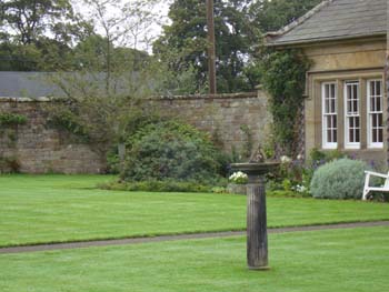
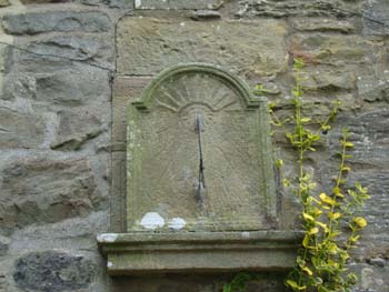
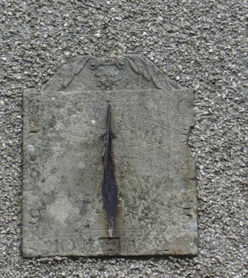
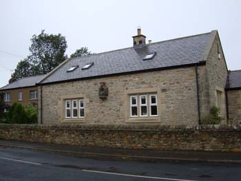
As
you leave through the gates, notice the horizontal sundial (picture
below) in the front garden of the dower house on the right.
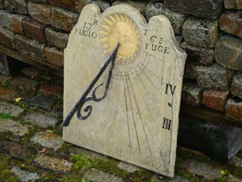
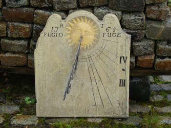
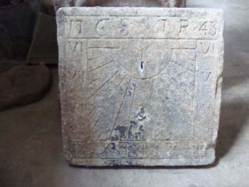
A further 1.5km along the
A696, turn left onto the B6342 for Great Bavington. You arrive in
the farmyard and while you park you may find yourself wondering where
the village is. An interesting information board opposite the footpath
sign explains all. From here, you can see the derelict house to the
north from which the sundial shown on a plinth below was taken.
|
|
There are three sundials to see. Follow the footpath to the top of
the tiny cobbled street and turn right into a grassed area. You are
now behind the United reformed church and the first sundial is a rather
worn, vertical south facing dial (above). The church was built in
1725 as only the second Non-Conformist chapel in Northumberland. The
dial has Roman numerals from V to V. The iron gnomon has an S shaped
support.
The second sundial is also vertical, mounted on a plinth on the wall
of a terraced cottage a little way down the cobbled track. The face
of its thick stone dial plate is also worn but the gnomon is a replacement,
with a C shaped support. (right). The third very worn, vertical dial
has been moved to the rendered wall of a house on the north side of
the village. It has Arabic numerals from 6 to 6 (below)
|
|
|
|
|
|
It is worth taking the
track northwards out of the village and after 1.5km turning left at
the T junction because there is a tiny cafť between there and the
A68. Once refreshed, turn left onto the A68 and almost immediately
right and follow the signs to Birtley. Just as you reach the village
turn about 300 degrees left into the drive of Town Head, whose owner
has a cheery vertical sundial in the shed, dated 1758 and rescued
from a house being demolished in Allendale
|
|
|
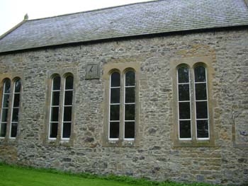
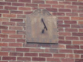
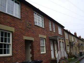
To get to Stamfordham,
our next and bountiful destination, return to the A68 and turn right,
drive 12km and turn left onto the B6318. Left again onto the B6309
after East Wallhouses. Start at the church of St Mary the Virgin,
13th century but rebuilt in 1848 mostly from the original stone. On
the south wall of the nave is fixed a vertical dial dated 1768, reminiscent
of the dial in Birtley. It also has a sun motif, but this dialplate
is broken, held together with iron brackets. Next go east along the
north side of the green to numbers 11 and 12, on the shared red-brick
wall of which is a vertical, southfacing dial. The gnomon is out of
alignment. |
|
|
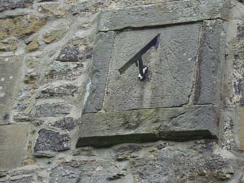
At
the end of the road, turn right onto Grange Road and go down to the
T junction. Turn left and park in the little layby 50m along on the
right. Across the road is the Old School House and on the south wall
is a sombre looking vertical sundial, with hour lines from 8am to
4pm as perhaps befits a school and an appropriate motto, 'Carpe Horam'.
It is dated MDCCCLVIII.
To complete the circuit and go the 9km back to Belsay, retrace you
steps into Stamfordham along Grange Road, which is the B6309 and connects
with the A69, where you turn right.
|
|
Many thanks to Tony Thick of Bolam, Northumberland, who wrote this
sundial trail
|
|
 For
a full overview click here
For
a full overview click here